Explore Both Sides of the Border on a Day Trip from Albury. The New South Wales-Victoria border crossing on the Wymah Ferry is a unique experience. Combined with several…
Explore Both Sides of the Border on a Day Trip from Albury.
The New South Wales-Victoria border crossing on the Wymah Ferry is a unique experience. Combined with several lookouts delivering magnificent valley views, learning some local history, and eating the best ice cream in town, you have the perfect day trip from Albury. Use my detailed guide for planning your day trip across the border on a ferry with things to do around Lake Hume. Or save it for future reference when looking for a special day out with friends, family, or just on your own.
Albury is a major regional city situated on the mighty Murray River in southern New South Wales. The Murray River is Australia’s longest river (flowing for 2,530 kilometres) and forms the border between the states of New South Wales and Victoria before flowing into South Australia.
Albury is strategically located for some of the best day trips in New South Wales and Victoria. A massive lake and river system, historic towns, mountains, national parks are just some of the adventures waiting for you on Albury’s doorstep.
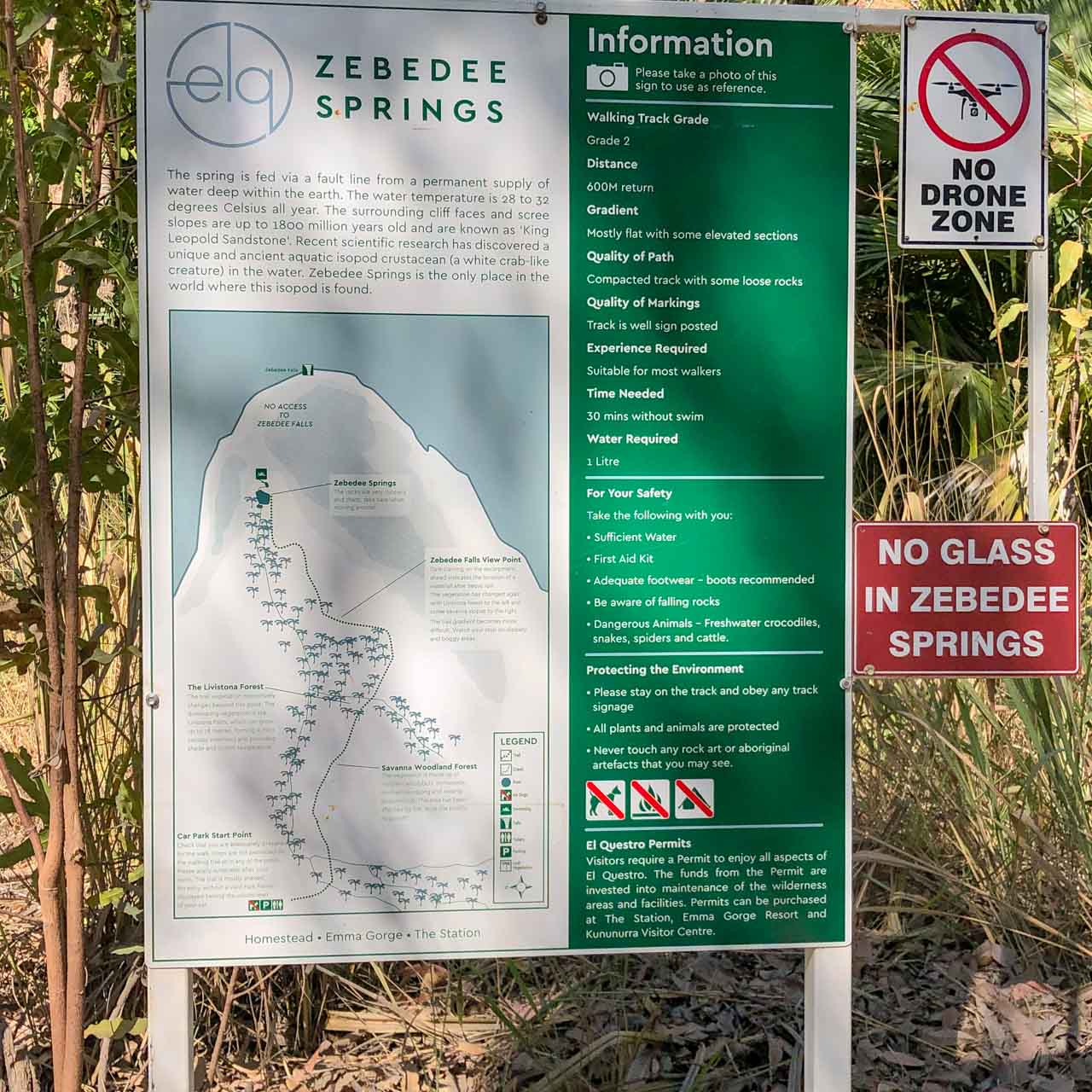
Getting There
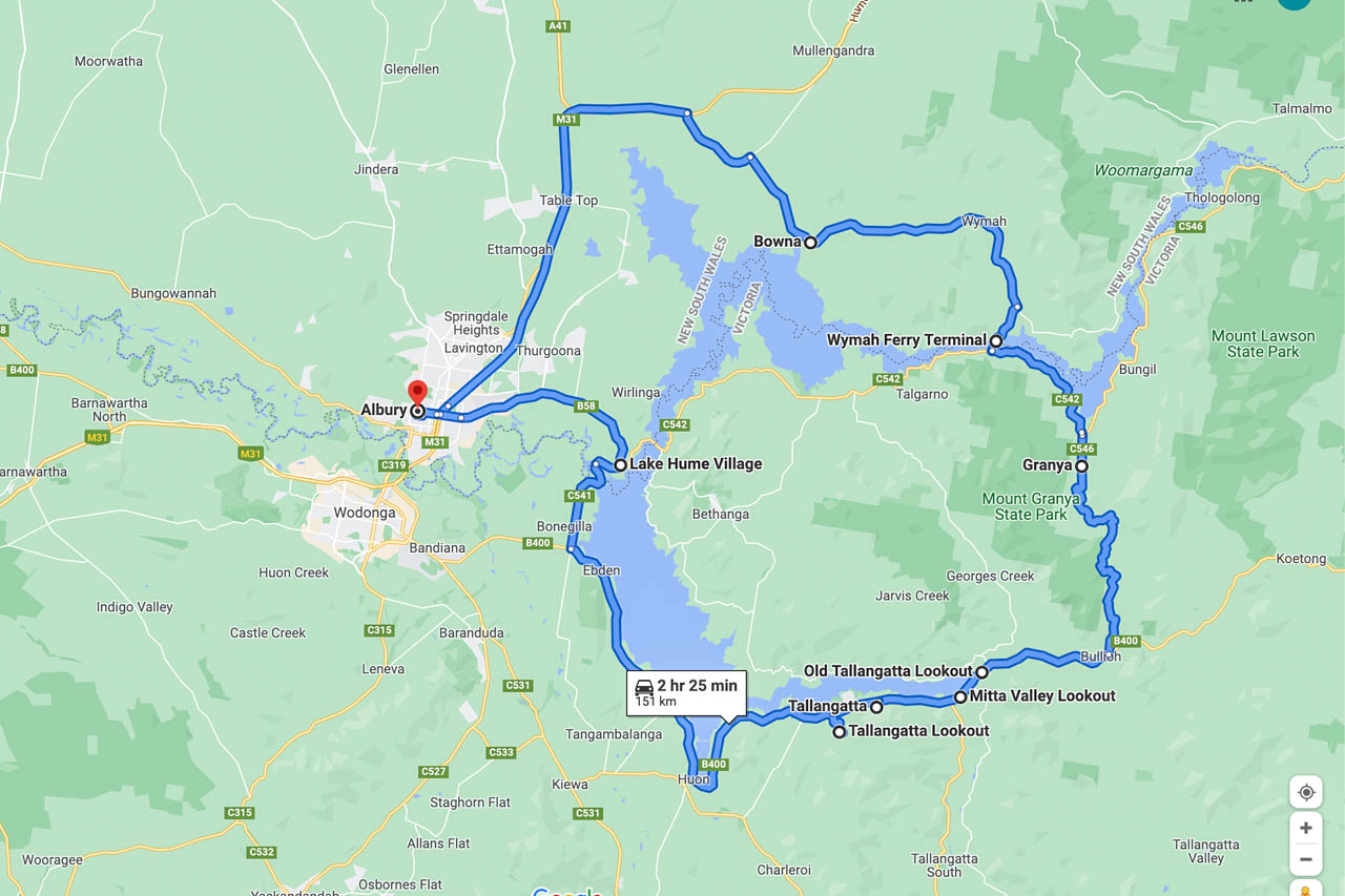
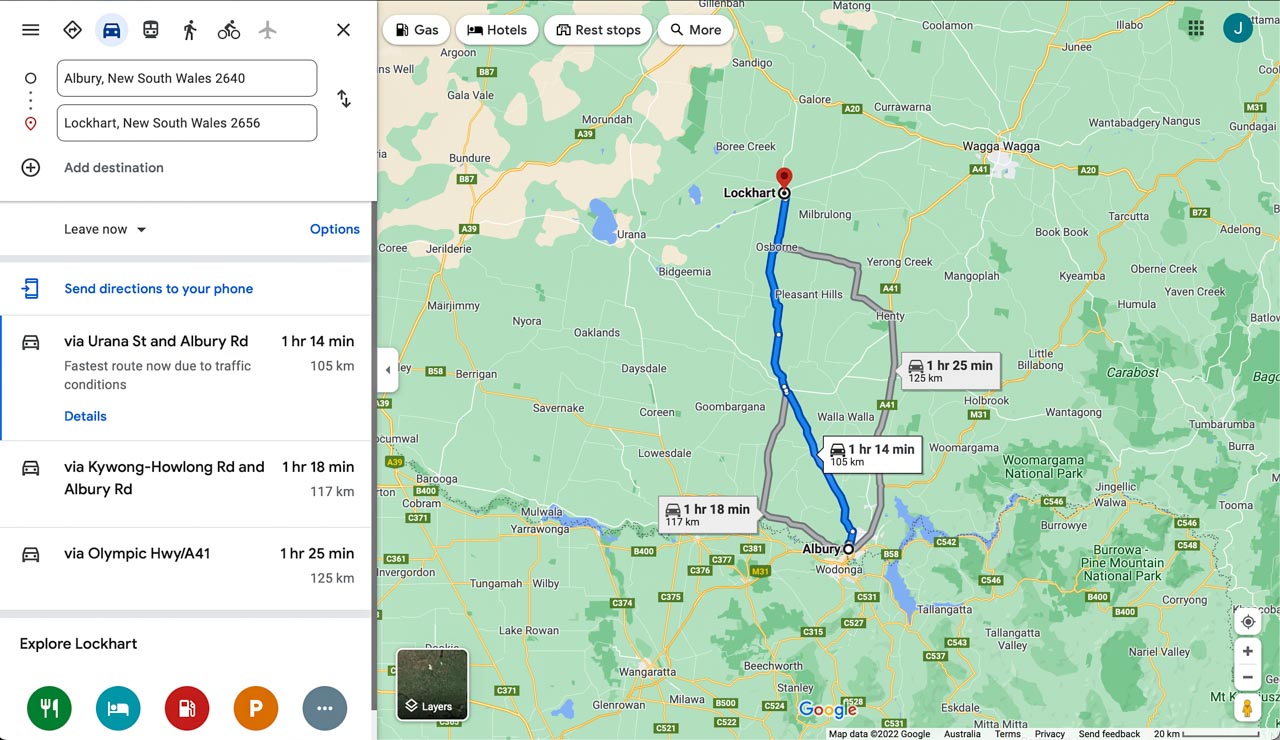
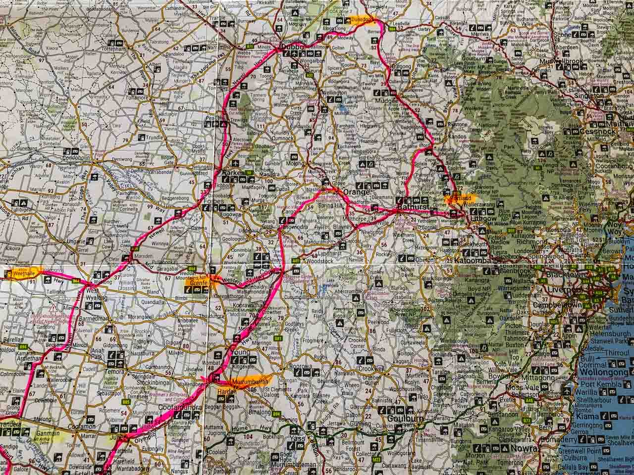
Wymah Ferry day trip route map (Google maps)
The Wymah Ferry day trip is a route driven in a loop and can be travelled in either direction:
- Albury –> Bowna –> Wymah –> Wymah Ferry Terminal –> Granya –> Old Tallangatta Lookout –> Mitta valley Lookout –> Tallangatta –> Tallangatta Lookout –> Lake Hume Village -> Albury.
OR IN REVERSE
- Albury –> Lake Hume Village –> Tallangatta Lookout –> Tallangatta, and so forth.
The drive is approximately 2 hours 25 minutes without stopping (151 kilometres). However, this is a day trip because we make several stops at places of interest along the way, take the Wymah Ferry across the Murray River, and stop for the best ice cream in town.
Albury to Wymah Ferry, New South Wales
Albury is the start and endpoint for this day trip. Driving north on the Hume Highway, you leave the highway at the Bowna Road turnoff. With Lake Hume on your right, approximately 5 kilometres along Bowna Road, turn right onto Wymah Road, heading to Wymah Ferry Terminal.
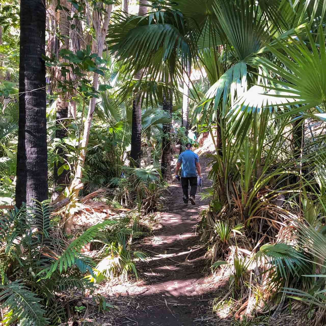
A hidden gem on this section of the route is Wymah School Museum. Make time to visit.
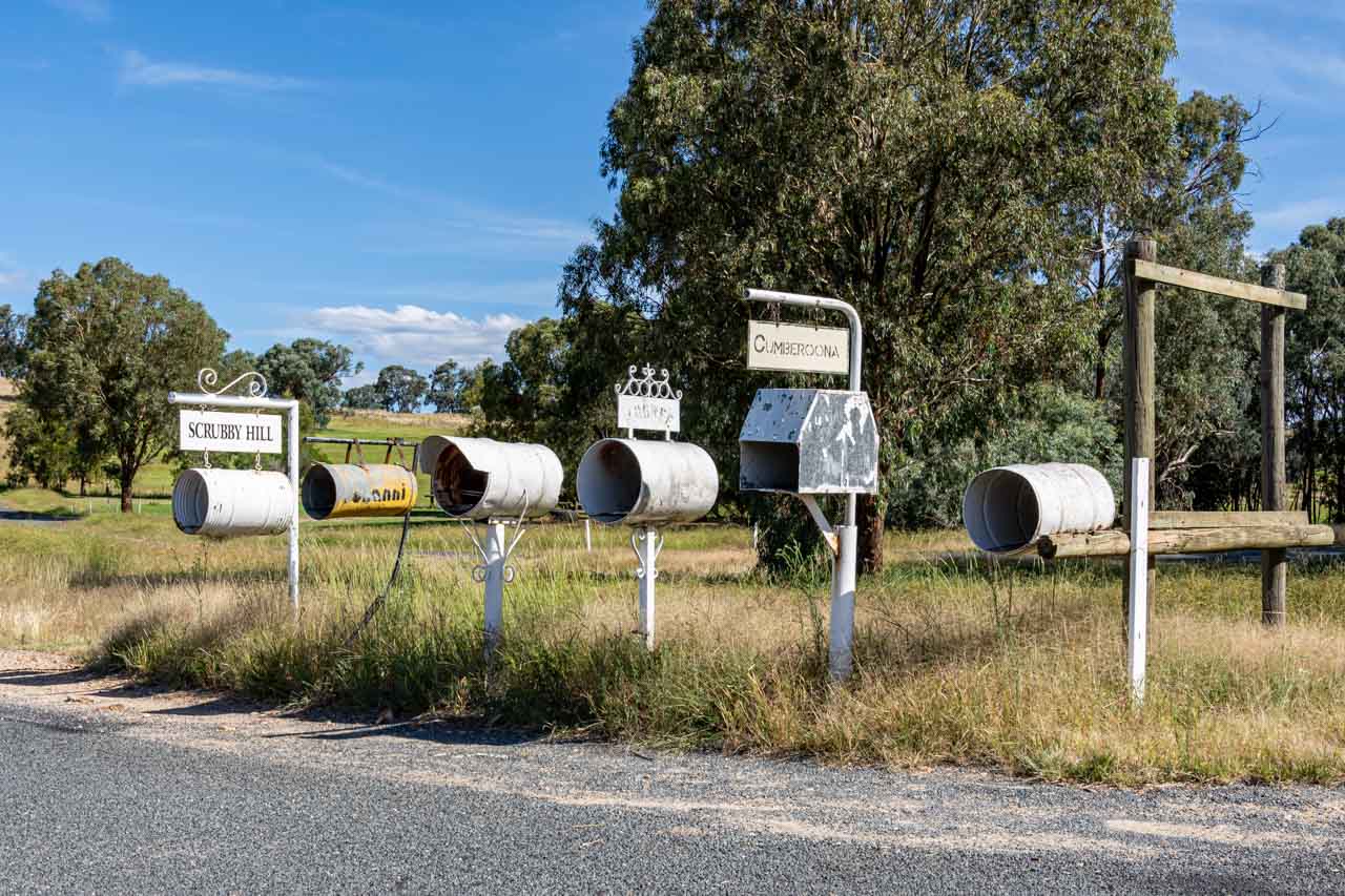
Bowna – the village that was
Bowna was a small village of about 150 people, but the decision to build a dam across the Murray River would foretell its demise. Bowna village was flooded in 1933 by the rising waters of Lake Hume. By 1935, the village had disappeared entirely, with traces only seen when Lake Hume is very low.
All you will see of Bowna village today on your day trip to or from Wymah Ferry are the letterboxes on Wymah Road in the photo below.
Bowna really is a case of ‘blink-and-you-miss-it’!
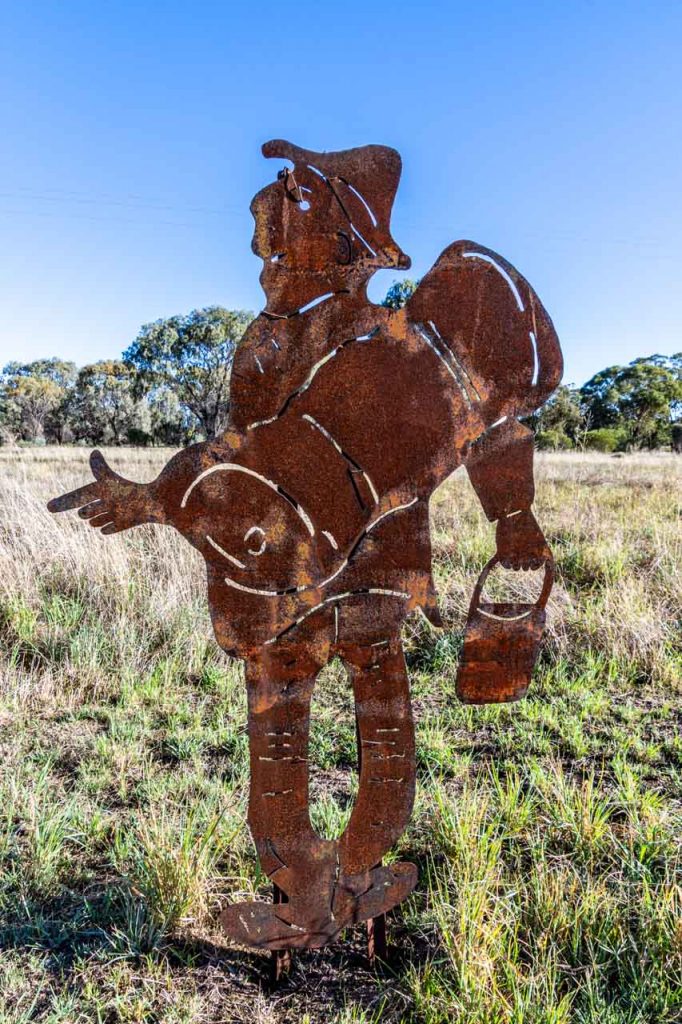
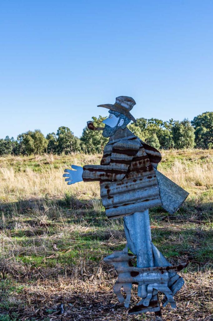
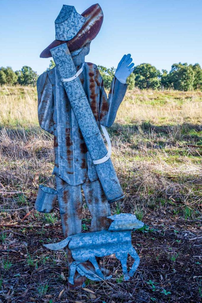
Wymah School Museum
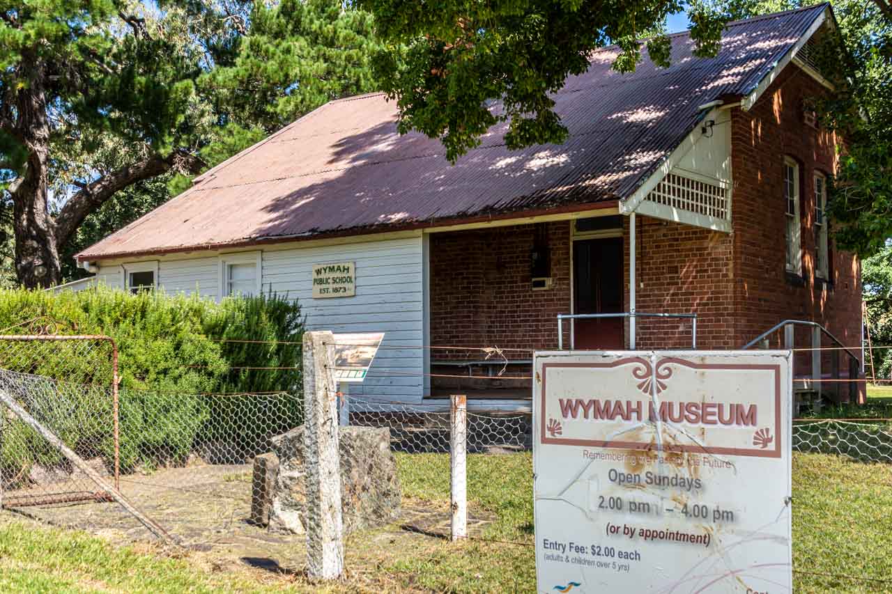
Wymah (formerly Wagra) was a pioneer settlement with a small thriving township until the early 20th century. It featured one of the earliest Murray River ferry crossings, transporting people and livestock. Nothing remains today of the original township except Wymah School (closed in 1983), now a museum, the schoolhouse, and Dora Dora Pub at Talmalmo.
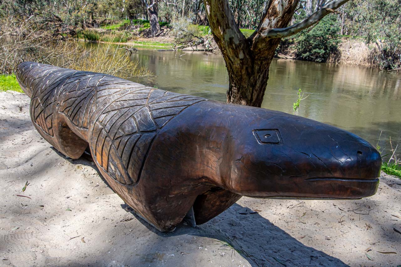
The Wymah School Museum (formerly Wymah Museum) was established in 2013. It is a small, delightful museum located in the old Wymah School. When I entered the museum, the first thing I noticed was the beautifully polished original floorboards. Aesthetics aside, the museum presents the opportunity to learn about the history of the original pioneering families, Dora Dora Pub, Wymah Ferry, Wymah School, the local Wiradjuri people, and more.
Wymah School Museum hosts an uncluttered collection, engagingly arranged and focused on local history. Peter was the volunteer on duty the day I visited. He was a wealth of local information, which he willingly shared. His stories were made all the more interesting with his being a local. He was even a pupil at the one-room, single teacher Wymah School.
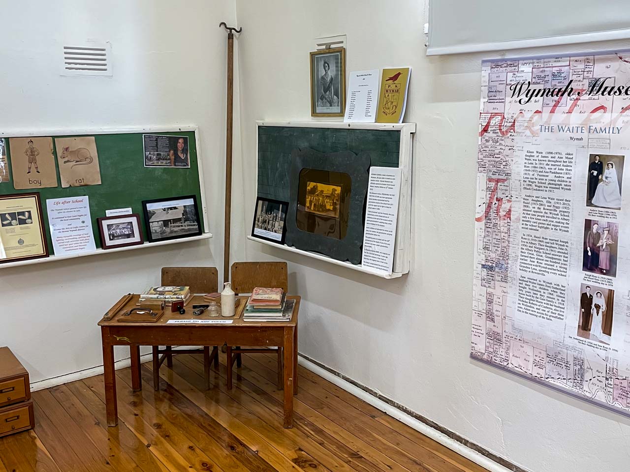
A portion of the collection of artifacts and records in the Wymah Scool Museum
Wymah School Museum, at 2444 Wymah Road, Wymah, is open Sundays, 2.00 pm to 4.00 pm or by appointment. For an appointment, contact June 02 6020 2027 or Maree 02 6020 2005 or Judith 02 6020 2099.
Admission is $2.00 per person over five years.
Wymah School Museum is about a 30-minute drive from Albury. If looking for somewhere to go on a Sunday drive, you can’t go past a visit to this charming museum. Discover this hidden gem for yourself.
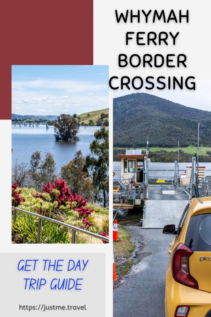
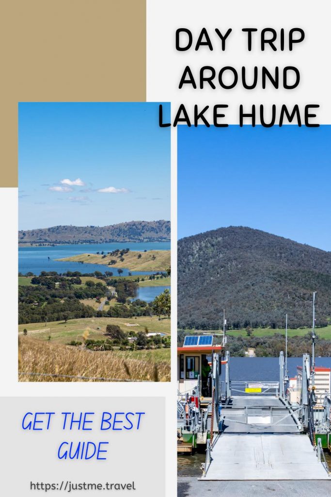
Wymah Ferry river crossing
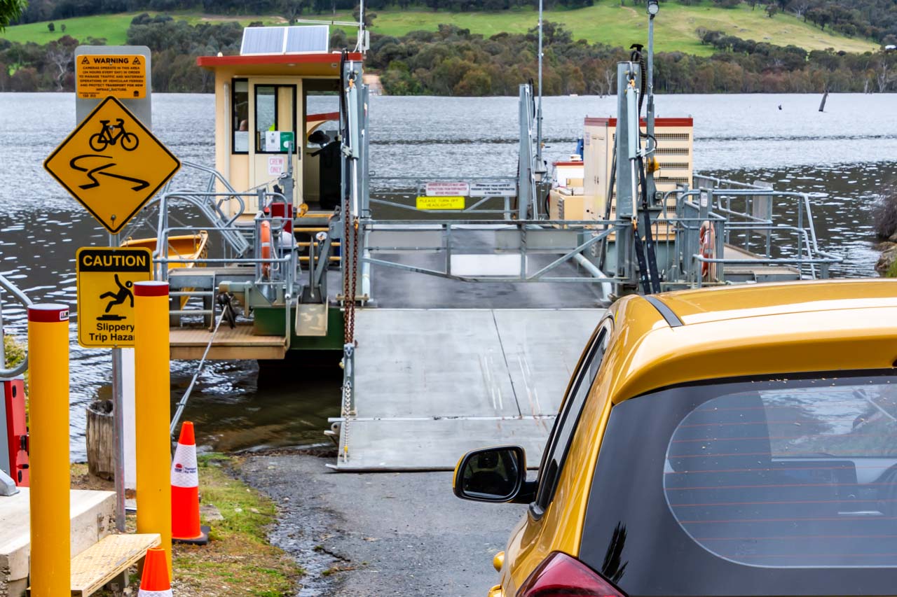
Waiting to drive my car onto the Wymah Ferry at Wymah
The Wymah Ferry has a long history of service, beginning in the 1860s as a private ferry crossing the Murray River. According to local lore, a pub owner started the first ferry crossing to bring customers over the river to his hotel.
The first public ferry began operating in 1892. The current Wymah Ferry is the fourth public ferry, with two previous ferries sinking (one of which was re-floated) and another dismantled. The third public ferry was a two-car ferry decommissioned in 2013 to make way for the present-day, larger three-car ferry, the “Spirit of Wymah” (picture above).
The Wymah Ferry is a three-car cable ferry crossing the Murray River at Wymah in New South Wales and Granya in Victoria. Its carrying capacity is 35 tonnes – the equivalent of two fully laden fire trucks. Caravans and camper trailers are permitted if vehicle and caravan do not exceed 17 metres.
The Wymah Ferry is unique in several ways:
- It is the only cable car ferry in the region.
- It is an unusual and fun way to cross the Murray River between New South Wales and Victoria.
- It is a heritage-listed cable ferry.
The only other cable ferry crossing the New South Wales-Victorian border is nearly 500 kilometres downstream at Swan Hill.
The Wymah Ferry runs seven days a week and operates 6.00 am to 9.00 pm September to April, and 7.00 am to 8.00 pm May to August, except on the first Wednesday of every month when it is closed between 9 am and 12 pm. The ferry closures for meal breaks are as follows:
- 10.00 am to 10.20 am,
- 12.40 pm to 1.00 pm, and
- 6.00 pm to 6.30 pm.
The trip takes about six minutes and is toll-free.
If the ferry is not at the terminal where you want to cross the Murray River – at Wymah or Granya – there is a button on a post to press to alert the Ferrymaster and call the ferry across.
The ferry service has been suspended on several occasions over the Wymah Ferry’s 150 years of operation due to low water. The service was also stopped in 2020 when the New South Wales-Victorian border was closed due to COVID-19. For up-to-date information on the operation of the Wymah Ferry, contact T: 02 6020 2038.
I have travelled on the Wymah Ferry three times in the last four months and feel a child-like thrill each time. At under 50 kilometres from Albury, enjoy this perfect experience for yourself. Don’t forget to combine the Wymah Ferry crossing with a visit to the Wymah School Museum.
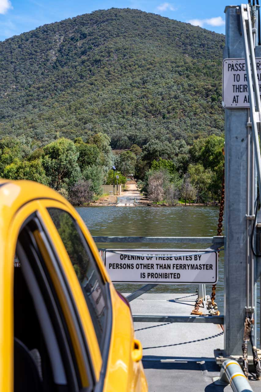
On the Wymah Ferry leaving Granya
Wymah Ferry Day Trip Through Victoria
On the Victorian section of the Wymah Ferry day trip route, you will discover several lookouts with views over Lake Hume and Mitta River and lunch options in Tallangatta.
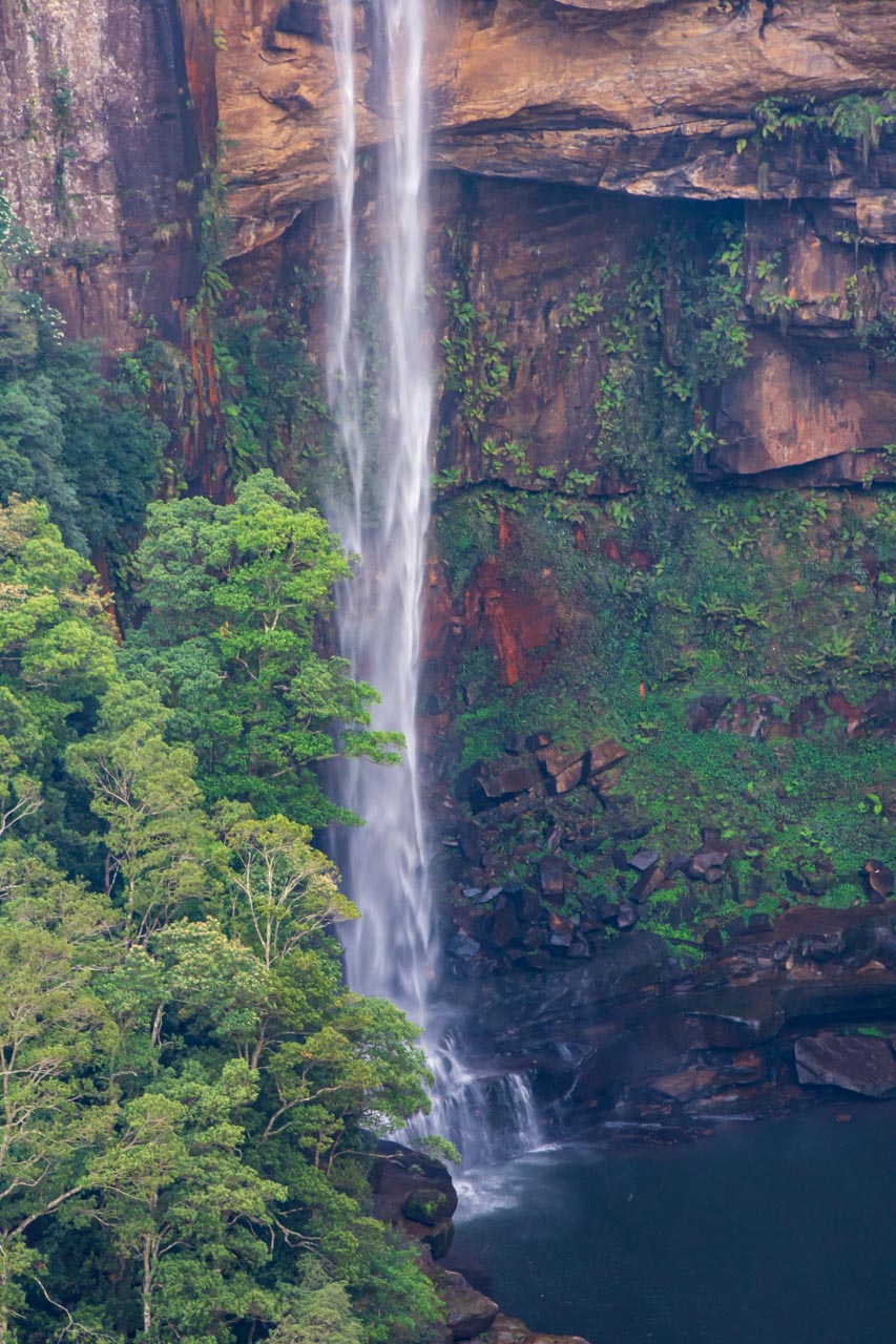
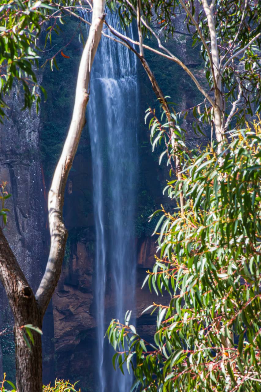
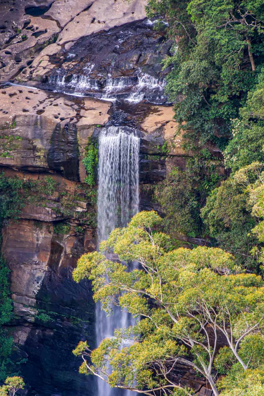
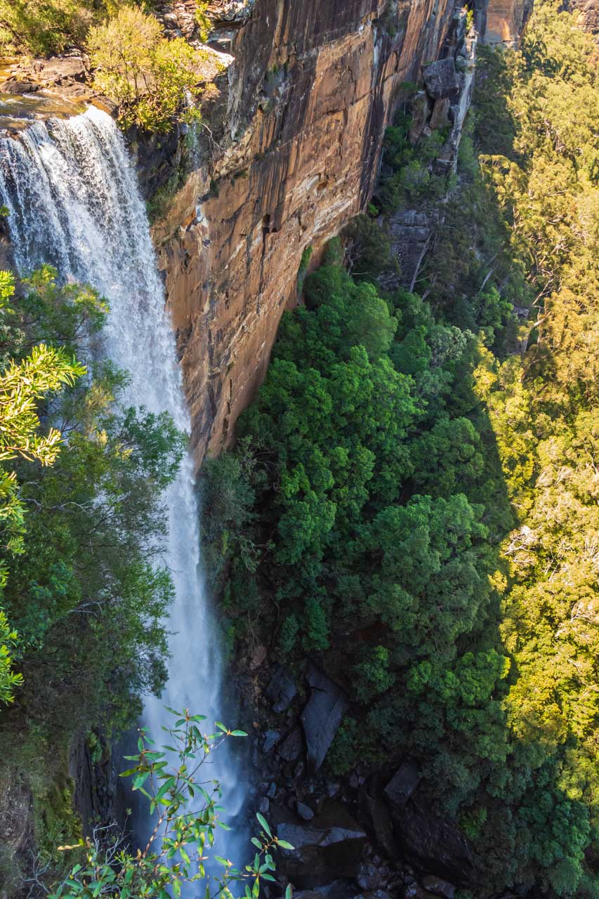
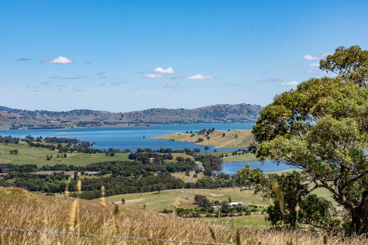
Old Tallangatta Lookout
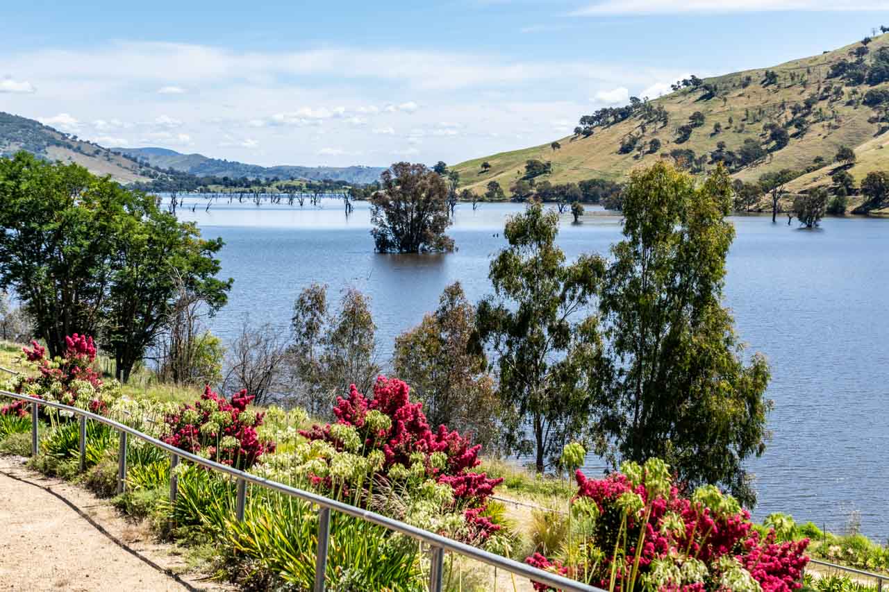
View of Lake Hume from Old Tallangatta Lookout
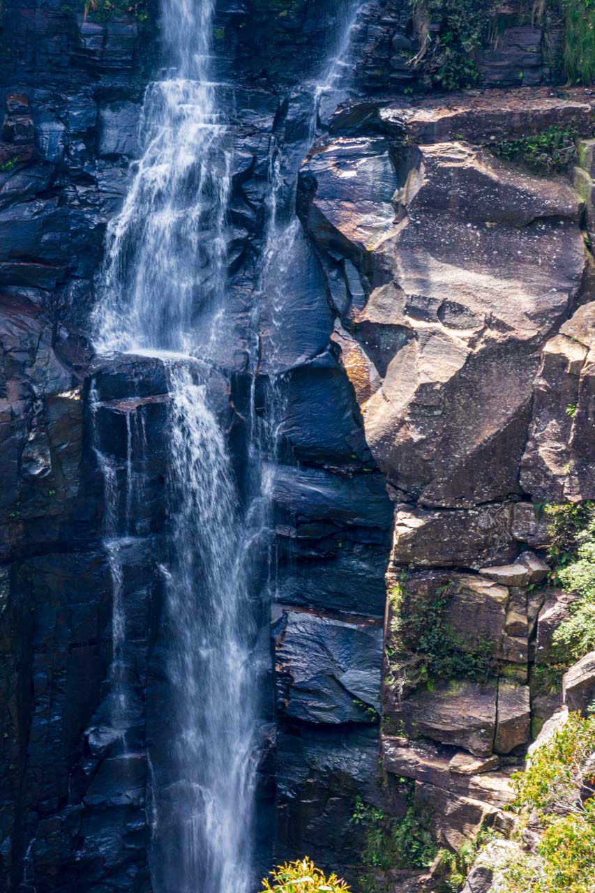
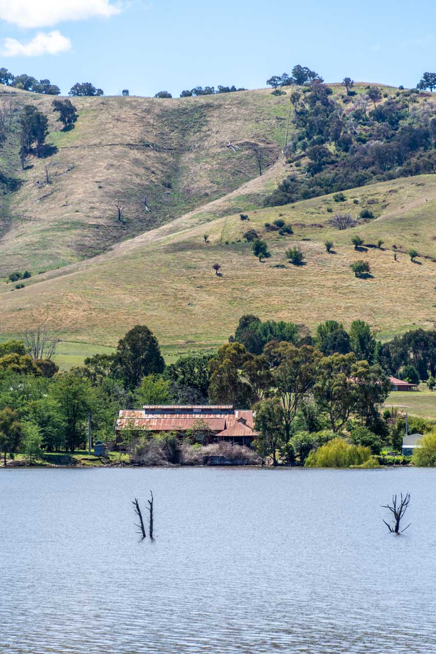
From the Old Tallangatta Lookout, you have stunning views over Lake Hume and across the lake to the prominent ruins of the (old) Tallangatta Butter Factory. The Butter Factory is all that remains of the old Tallangatta township, which was moved in the 1950s due to the expansion of the Hume Dam. Although the old town is now under water, when Lake Hume is very low, the remains of old Tallangatta can be seen above the water.
Old Tallangatta Butter Factory viewed across Lake Hume from Old Tallangatta Lookout
Located on the Murray Valley Highway, Old Tallangatta Lookout is eight kilometres from (new) Tallangatta town centre. There is off-road parking (no shade), information boards, and two picnic tables (one under trees and one undercover). There are no toilet facilities.
You can access the walking-cycle High Country Rail Trail from the lookout should you wish to stretch your legs a bit along the banks of Lake Hume.
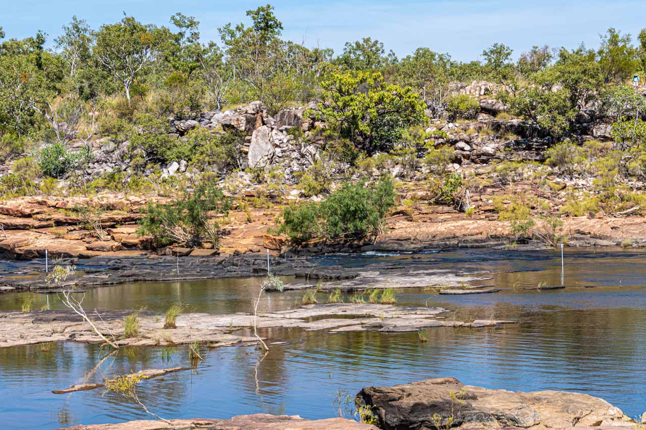
Mitta Valley Lookout
Mitta Valley Lookout is a scenic spot on the Mitta Mitta River, just six kilometres from Tallangatta town centre.
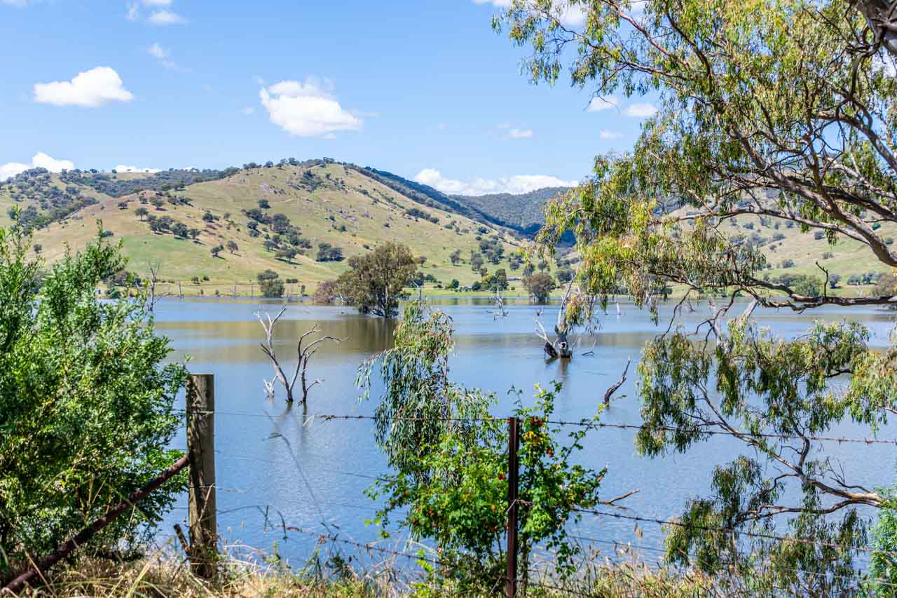
View from Mitta Valley Lookout
Located on the Murray Valley Highway, it is easy to miss the picnic table and signage tucked in amongst the trees on the side of the road. When driving in the direction from the Wymah Ferry towards Tallangatta, Mitta Valley Lookout is on the left at the end of the bridge across the Mitta Mitta River. Driving in the opposite direction (Tallangatta to Wymah Ferry), the lookout is on the right at the approach to the bridge.
A large tree provides good shade for your car should you decide to take a walk across the old railway bridge, now part of the High Country Rail Trail and running parallel to the road bridge.
There are no toilet facilities.
Tallangatta – the town that moved
Tallangatta is known as ‘the town that moved’ for obvious reasons – the town was forced to move 8 kilometres to its new, current location in 1956 when the old Tallangatta township was drowned with the expansion of Lake Hume. It is understandable then why Tallangatta appears stuck in the 1950s.
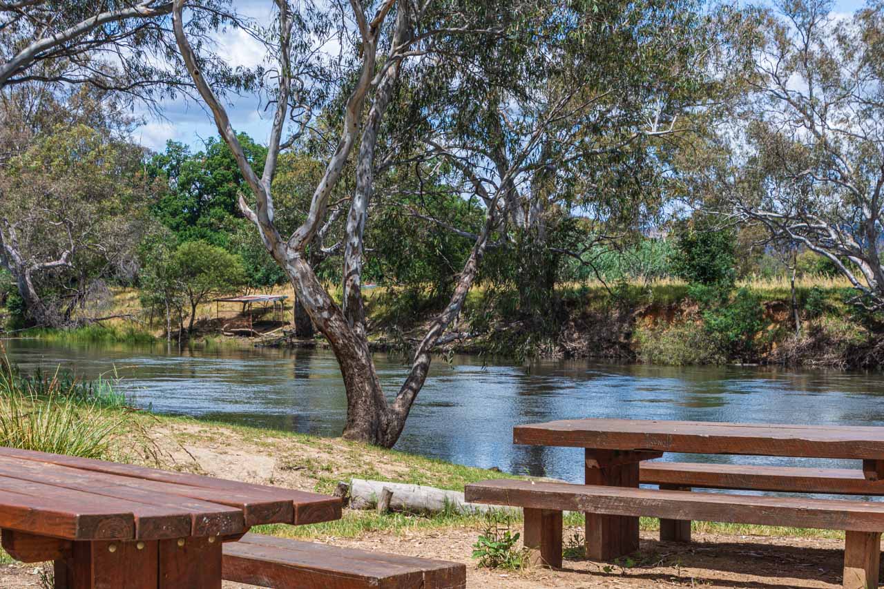
Tallangatta Triangles Park in the centre of town is a large green area shaded by beautiful plane trees moved to the park from old Tallangatta township. The park’s facilities include a children’s playground, barbeques and picnic tables undercover, benches, public toilets, and an information centre.
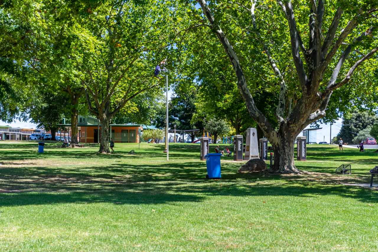
Triangles Park
Tallangatta has several options for breakfast, brunch or lunch. I have eaten lunch at Tallangatta Bakery (39 Towong Street) and Tallangatta Hotel (59 Towong Street). On my next visit to Tallangatta, I want to have brunch at the new cafe in town, Friday at Fika.
Friday at Fika, at 85 Towong Street, is open Friday 7.00 am to 1.00 pm, Saturday 8.00 am to 1.00 pm, and Sunday 8.30 am to 1.00 pm. The kitchen closes at about 12.30 pm.
Other options in Tallangatta for something to eat are Victoria Hotel (2 Banool Road), and Tallangatta Take Away (59 Towong Street). Or take a picnic and make use of the lovely park.
Tallangatta Lookout
Tallangatta Lookout is three kilometres from Tallangatta town centre and is accessed via Tallangatta Lookout Road, off the Murray Valley Highway.
You get stunning views of Lake Hume, Tallangatta township, and Sandy Creek Bridge from the lookout.
View of Lake Hume from Tallangatta Lookout
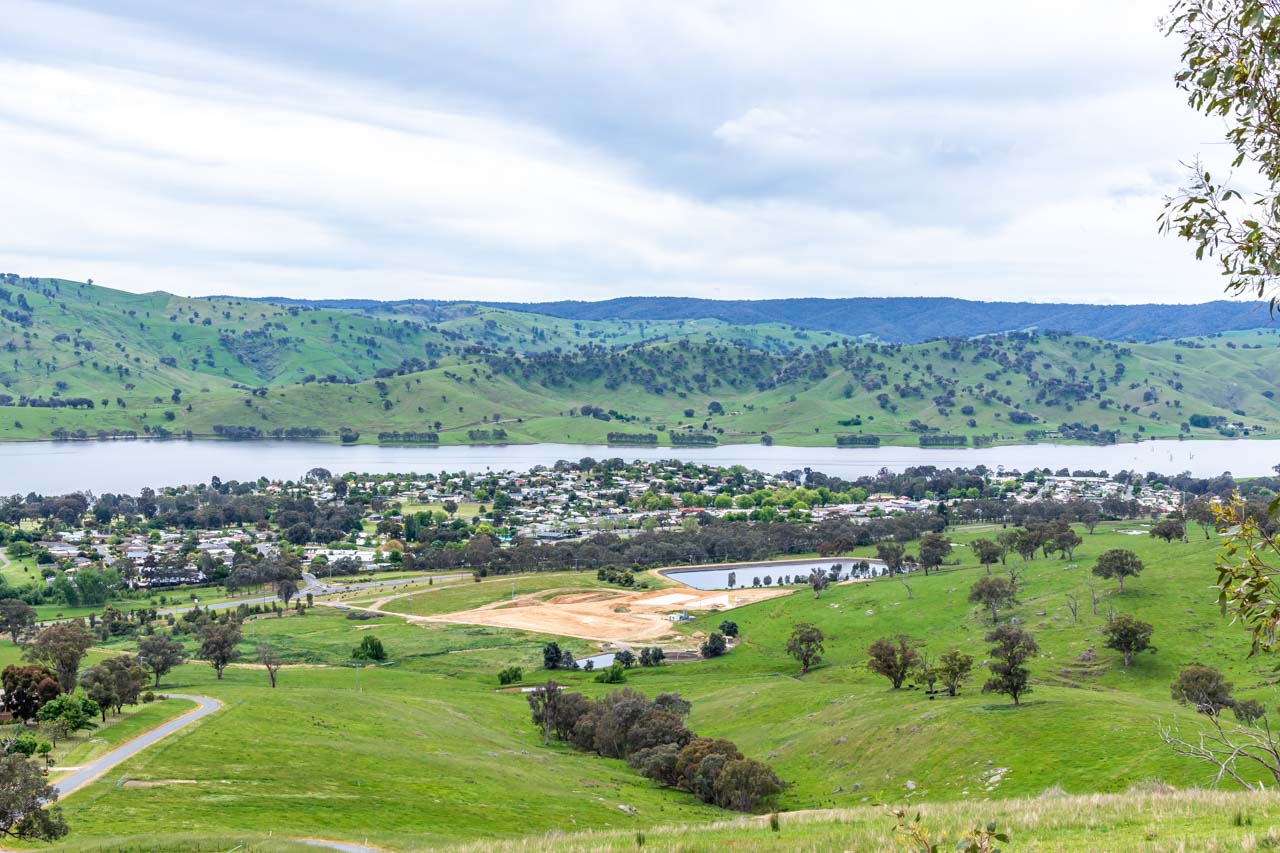
View of (new) Tallangatta township from Tallangatta Lookout
Facilities include a lookout platform, picnic tables and an undercover area. There are no toilets.
Tallangatta Lookout Road is steep, but I managed it effortlessly in my small, automatic two-wheel drive car. The road is sealed near the top of the hill and then gravel for the short distance to the lookout parking area and facilities. I used second gear to come down the hill.
The Homeward Leg – Back in New South Wales
By now, you must be ready for an ice cream, right?
The best ice cream in town and Hume Dam
Lake Vue Cafe at 37 Murray Street, Lake Hume Village on the shores of Lake Hume, has the best ice cream in town. With 24 different flavours, you are spoilt for choice.
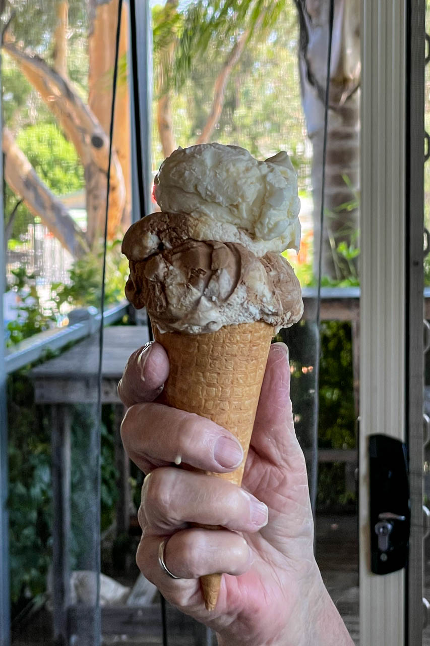
At only 12 kilometres (13 minutes) from Albury, an ice cream from Lake Vue Cafe puts the finishing touch on a perfect day out. The cafe is open Wednesday to Monday 9.00 am to 6.00 pm, and closed Tuesdays.
Take a walk down to Hume Dam while eating your ice cream and walk across the dam wall.
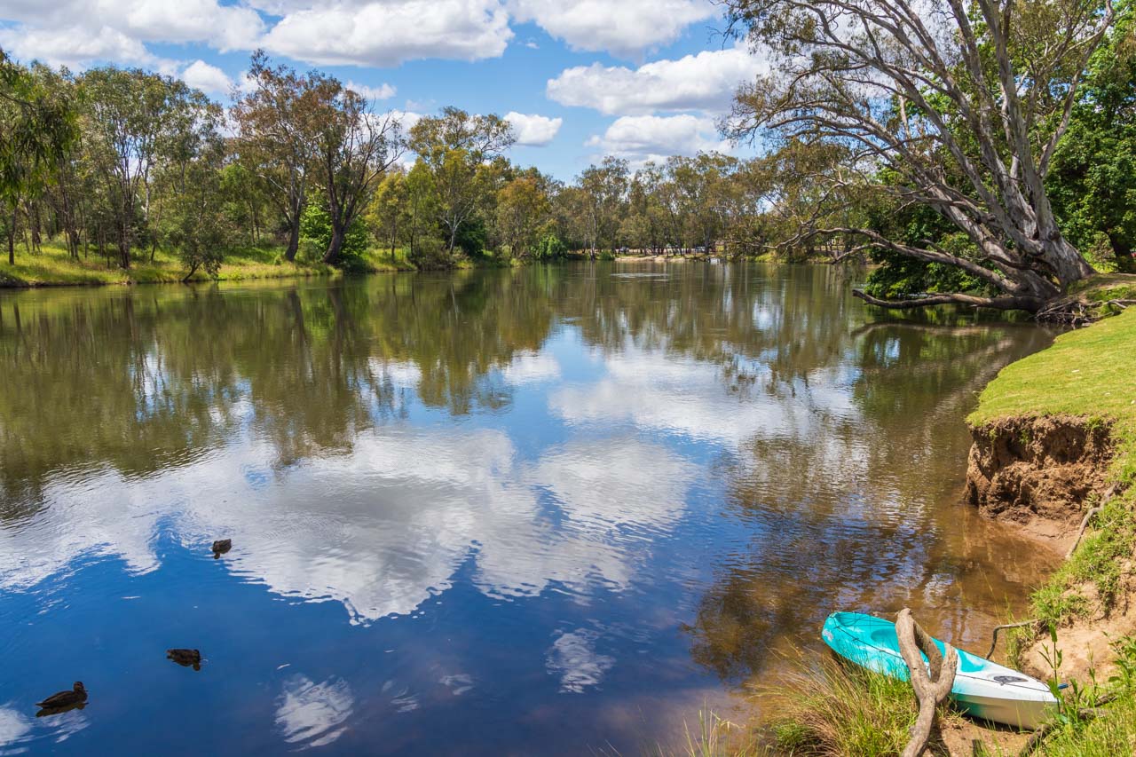
Hume Dam is a major dam across the Murray River, 13 kilometres from Albury. The reservoir behind the dam (Lake Hume) holds about six times the amount of water as Sydney Harbour and is an ideal spot for swimming, fishing, and watersports.
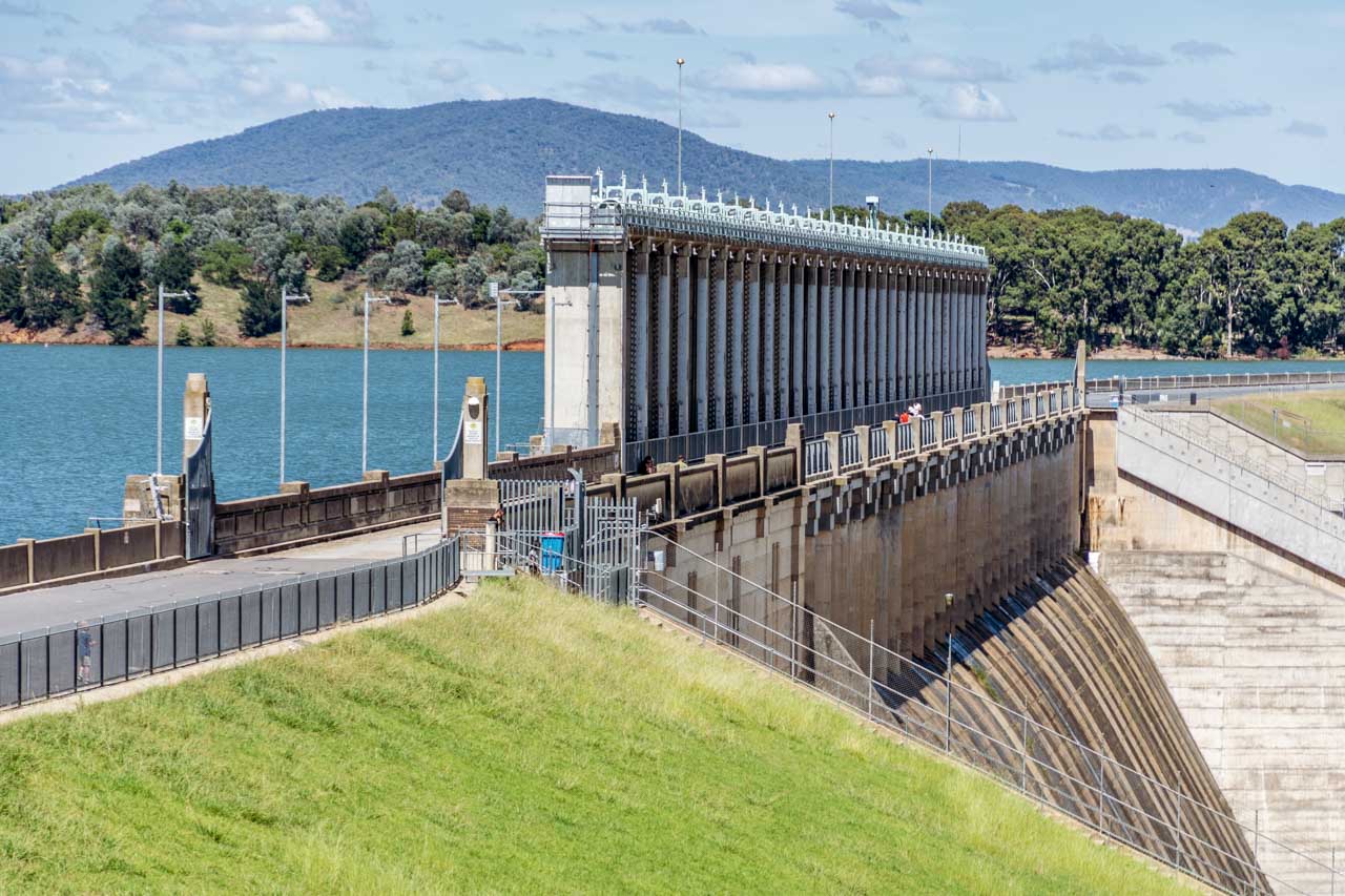
Hume Dam
Other activities:
Granya Pioneer Museum
After disembarking the Wymah Ferry in Victoria, the first village you come to is Granya. I have not visited the Granya Pioneer Museum, but if you have time and are interested, you may want to include the museum on your day trip.
Granya Pioneer Museum has a collection of about 500 items with records dating back to 1836, including historical photographs, land records, family histories. A recent extension contains horse-drawn farming equipment, mining and blacksmith tools, and other related artifacts.
Granya Pioneer Museum, at 5 Doubleday Street, is open by appointment only. Phone Lyn on 0457 062097 or Pam on 0407 005503.
Bonegilla Migrant Experience
Leaving Tallangatta Lookout and driving back to Albury on the Murray Valley Highway, you will turn right onto Bonegilla Road at Bonegilla, Victoria. At 1.3 kilometres along Bonegilla Road, you will see the signposted entrance to Bonegilla Migrant Experience, a heritage museum.
Bonegilla became the largest and longest operating migrant reception centre in the post-war era, with more than 300,000 migrants passing through its doors between 1947 and 1971. Today, Block 19 is all that remains of the original 24-block site. Bonegilla Migrant Experience brings to life the stories and experiences of the people who went through the centre.
One in twenty Australians have links to Bonegilla. I remember taking my daughter-in-law to Bonegilla as her father was at the centre as a small child. Do you have a link to Bonegilla?
The museum is open 10.00 am to 4.00 pm Mondays, Wednesdays, Thursdays, and weekends. Take a self-guided tour (site map available at the Welcome Centre) or join a guided tour (adults $5.00).
Day trips are a great way to get out and about while exploring the local area. Crossing the New South Wales-Victoria border on a heritage cable car ferry makes this day trip unique, with an element of fun. Valley views from lookouts along the way and a charming museum ‘alive’ with local history complete your day trip experience. Don’t forget to save this guide.
Disclaimer: This post contains no affiliate links. All views and opinions are my own and non-sponsored. All photos are my own and remain the copyright of Just Me Travel.
© Just Me Travel 2018-2022.
Please leave a comment below to share your thoughts. My purpose in writing this post is to convince you to experience a Murray River crossing on the Wymah Ferry, including a drive through two states around Lake Hume. Have I succeeded? Where have you taken a car ferry across a river?
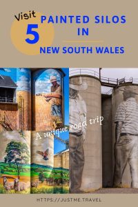
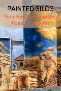
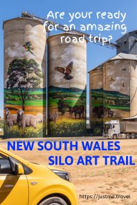
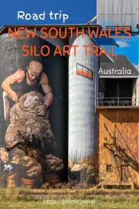
Like this post? PIN it for later!
Are you looking for day trips in New South Wales? Read my guides…
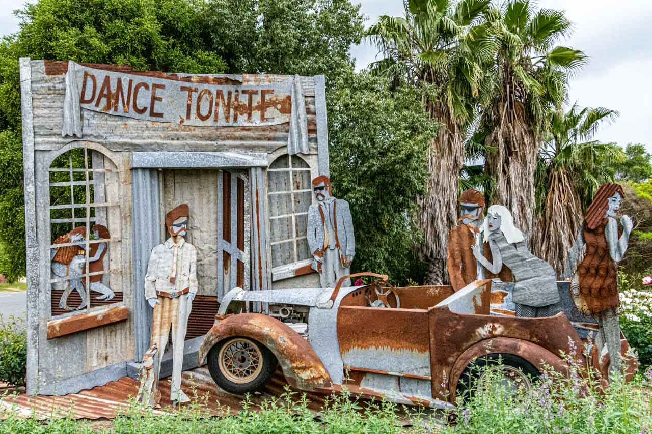
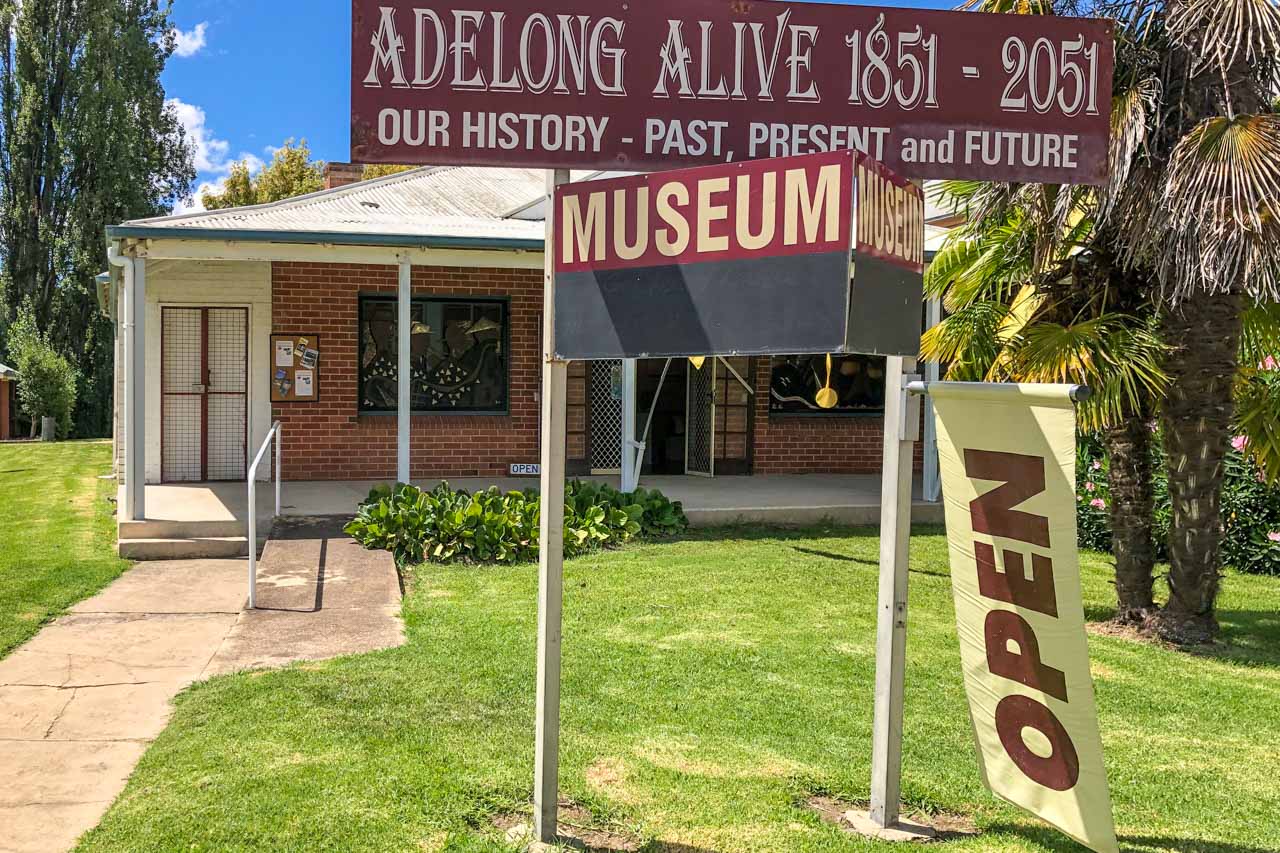
> ADELONG DAY TRIP GUIDE – the Snowy Valleys’ hidden gem in New South Wales
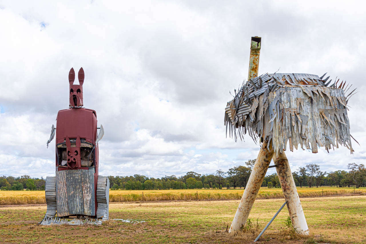
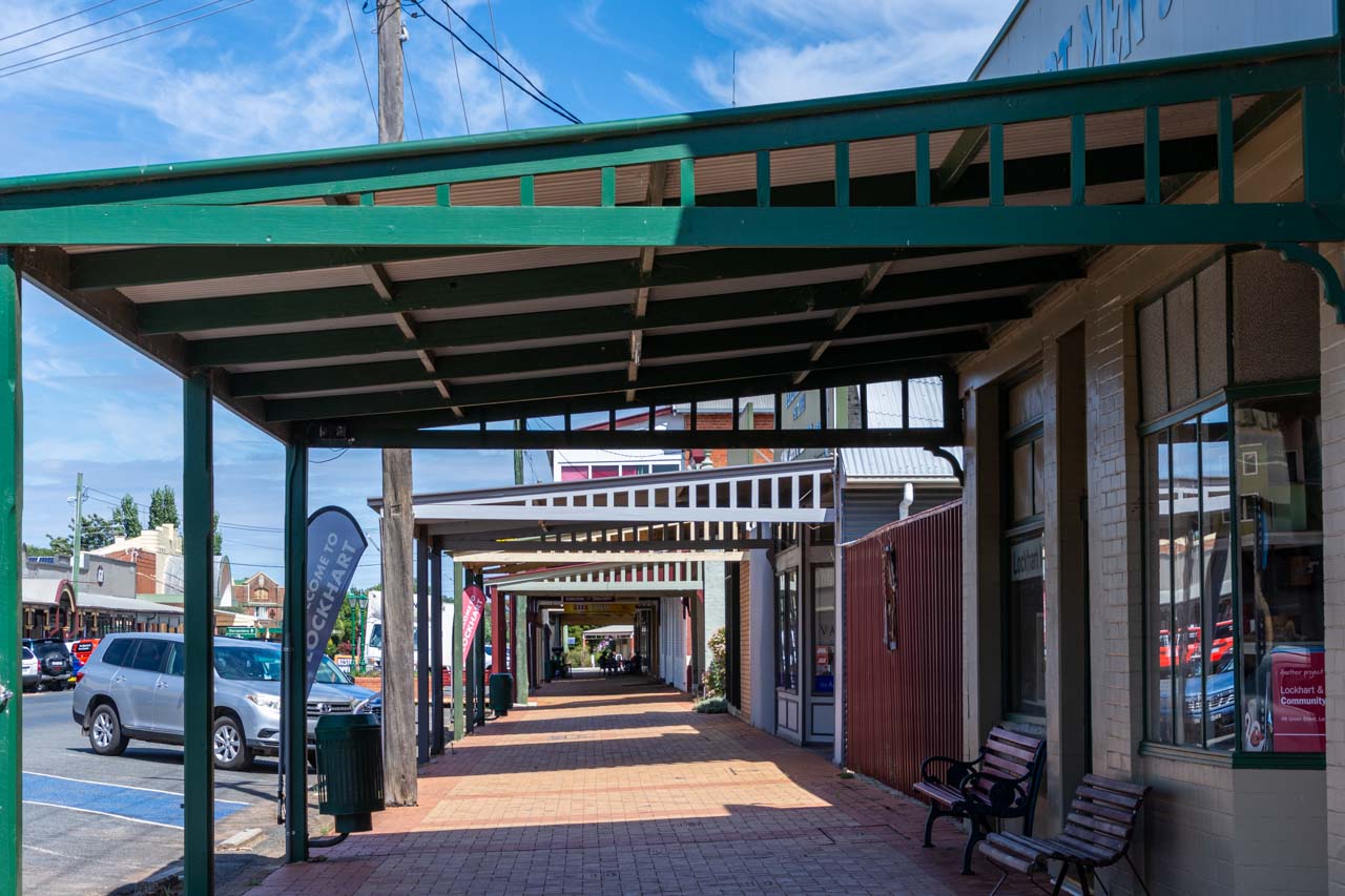
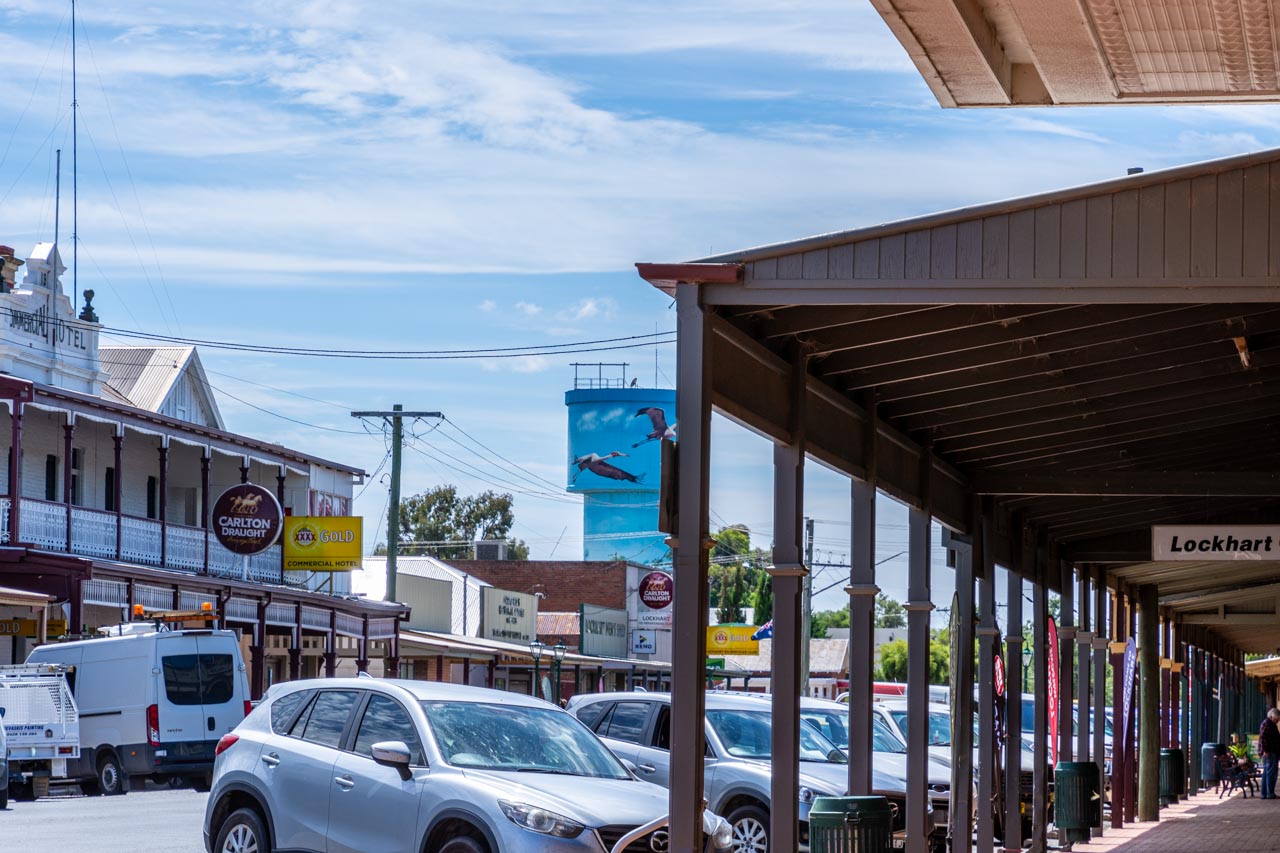
> LOCKHART DAY TRIP GUIDE – the Riverina’s hidden gem in New South Wales
Author’s Note: Please check the latest travel restrictions before planning any trip, and always follow government advice.
No Comments on WYMAH FERRY BORDER CROSSING, LOCAL HISTORY, VALLEY VIEWS – the best day trip guide